Mapping, Photogrammetry & GIS
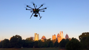
As a rule, FlyWorx aerial drone systems can take significantly higher resolution images than current satellite or manned aircraft. Our drones are equipped with state of the art cameras and sensors that allow for easy and quick capture of aerial data. Collected data is then transformed into 2D orthomosaics and 3D models for analysis.
Our software generates output files that can be manipulated in popular CAD and GIS programs such as ArcGIS and others. The geo-referenced aerial maps can have sub centimeter resolution. Millions of data points can be collected within a short period of time. Underbrush, creeks, rivers, rocks and extreme topography impedes site inspections. Our drones minimize the risk to ground crews. All this leads to cost efficiency, a quicker decision process and safety. The bottom line, aerial data is easily transformed into actionable information.

